Craigie Creek Trail
Matanuska ValleyDescription
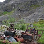
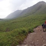
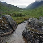
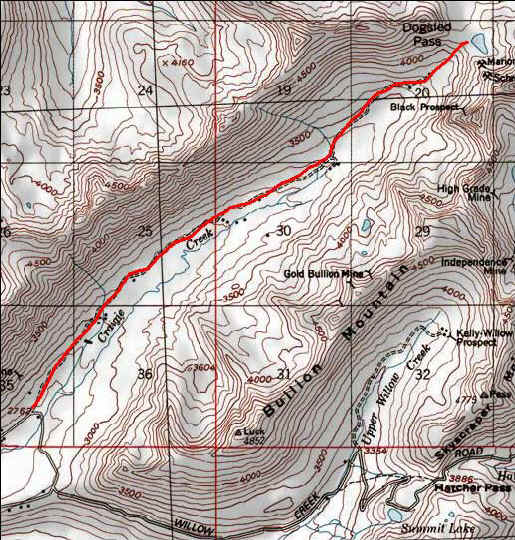
The Craigie Creek Road which leads to this trail is not that great but an easy hike to the trail beginning. This road would be good for mountain biking but you may have to leave the bike once you get near the Pass. Along the way you will see and old cabin/mine site, a waterfall, and along the trail another very old cabin, lots of beaver damns, and many blueberries in season. The actual trail to Dog Sled Pass is maybe a quarter of a mile but you will have to walk the old road depending on how far you feel your vehicle can get you. At the top of the pass there is Schrock Lake and a really nice views ahead and back down the valley. There is lots of room for exploring once up by the lake.
Important Information
The first time we did this trail we were intimidated by the Craigie Creek road and parked near the beginning of the road. The second time we decided to push on up the road but this road is badly washed out so only use a high four wheel truck that you don't mind if it gets a few scratches from brush. About three miles up this bad road are pull offs at an old cabin site and a little further up past that is a turnaround to park in.
Also the Hatcher Pass Road is closed during the winter so this is a seasonal road. You may want to check if the road it closed before the trip but you can always hike the Gold Mint Trail back down the road if it is.
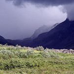
We did this trail on a warm July day. At the top we turned around and the whole valley and mountains had miraculously turned white. We missed getting hailed on but had to contend with the flash flooding of the Craigie Creek road on the way out. A bit hairy. We only met one set of hikers on the trail and a blueberry picker.
Etc.
The Independence Mine and Summit Lake are sites to see while up at Hatcher Pass. The Hatcher Pass road itself is a beautiful drive.
