Temptation Peak
Chugach State ParkDescription
Once you get on this small trail, stay to the right initially (there's yet another fork right after you get on the trail...go right). From this point on, follow the extremely small yellow "Trail" signs that have been placed on trees as well as the little ribbons.
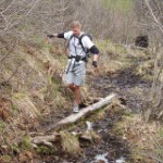
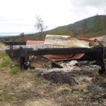
Although the trail can be hiked year round, I suggest spring to early summer, as the trail can get very overgrown which makes it even harder to find your path. If you've done things right, you'll make it past the majority of the mud and get to the burned down cabin after about 2 miles. The trail goes to the right of the cabin, back toward the valley...at this point the "trail" sign was behind a tree, so if you went up close to the wreckage of the cabin, just back track slightly and head toward the valley (away from Anchorage).
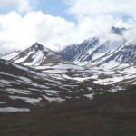
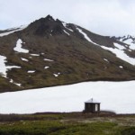
It's not as easy to get lost after this point. Just stay on the trail and you'll break above tree-line after another mile or so. The upper cabin is about 3 more miles up the trail, just before the spine in the middle of the valley. It's difficult to see until you're right on top of it. This is a great spot to take a break and grab some lunch before the push to Temptation.
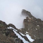
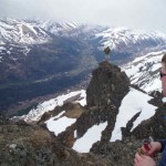
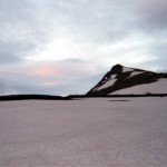
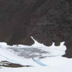
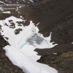
When looking at the spine from the cabin, take the valley on the left. Hike (approx.) 3/4 of a mile back into this valley and Temptation is on the left. Here's where the elevation gain begins; make your way up to the rounded saddle for your first view of the beautiful tarn nestled within Temptation's walls. It feels like you're in a Volcano up there. Follow the ridge to the right of the tarn all the way up to the summit (approx. 5,350ft...although I've also read 5,384ft).
Important Information
Necessities: extra socks, 2 meals (sandwiches etc.), bear spray, rain gear, someone who knows the trail.
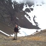
This hike took my friends and I 10.5 hours with 2 stops at the upper cabin for food. The cabin also has sleeping bags, a camper stove, and some emergency food. The overall slope of this hike was very forgiving on the knees; the only somewhat steep part was the final ascent to the tarn/summit. You feel like you're the only person in that valley...and you just might be.
Etc.
Getting to the trailhead: take Arctic Valley Rd from northbound on the Glenn Highway (first exit after Muldoon). Shortly after passing the driving range on the right, there will be a sign that reads "Snowhawk Cabins". Turn right onto this dirt road and follow it down a small hill to the parking area. I recommend bringing a Mountain bike to go over the bridge (blocked off to vehicles unless you contact Ft. Richardson, 907-384-1476, to get the key - must have military friends or be a member of the service).
There's a split in the road shortly after the bridge. Take the left road. You'll soon end up at a fenced in dam of what I believe is Ship Creek. The trail is on the right just before you get to this small parking area and heads immediately up a small hill.
Temptation Trail is on military land. You will need to get a permit to hike there and let them know. Go here for more information.
