Upper Winner Creek Trail
Chugach National ForestDescription
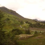
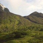
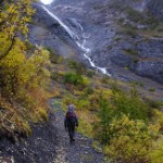
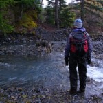
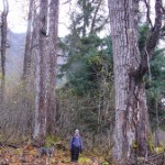
This hike begins at the traditional trailhead of the Winner Creek Trail below the Alyeska Tram. For a little variation, you could park on Crow Pass Road and hike in via the hand tram. Regardless, the new and improved Upper Winner Creek Trail is a jewel. It contours the valley along the South side of the creek for approximately 8 miles of outstanding views and level tread. This trail starts in the heavy old-growth rainforest, contours up into thinner hemlock forest and cleared alders, meanders through a delightful cottonwood alluvial fan, busts out onto an open alpine slope, and climbs over an alpine pass that will make you feel like you're in the Highlands of Scotland. The trail continues down the valley to the upper Twenty-mile River for a pakboat float out to the Seward Highway. It apparently peters out about a mile from the actual river, so be prepared for a bushwhack section. I haven't done the float yet so I can't comment on it, though it gets rave reviews from those who have. The photos look a bit splashy with some tricky maneuvering ;probably a bit on the challenging side and definitely on the cold side.
For a nice trip report and photos see: http://www.xcskiracer.com/gallery/06winnercreek For information on Alpacka Rafts see: http://www.alpackaraft.com/
The following was added by the webmaster August 5, 2009:
Having to be back early the next day, I decided to only backpack in for 3 hours and plant my tent wherever I was at that point. I wound up going in about 7.5 miles and wound up in paradise!
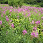
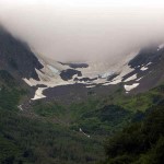
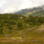
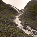
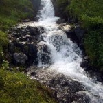
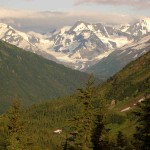
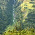
Once you get out of the wooded part of the trail and into alpine tundra, the landscape is amazing. Not that the first part of the trail is bad, far from it. You'll see some small glaciers as you come in and out of the trees. Depending on the time of year, there's some amazing fields of fireweed. There are also many cascades and waterfalls that you'll cross. As mentioned above, the trail is very well maintained and the stairs in some sections as you slowly head up above tree line (about mile 3) really helps.
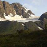
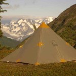
But I'll tell you, when I got into tundra and then a little further on and saw the glaciers hanging off of Sadie's Knob, I was truly in heaven. There were waterfalls everywhere, small tarns everywhere, creeks everywhere, creeks that headed down rock chasms, small glaciers and as already mentioned, Sadie's Knob, which has several glaciers wrapping around it and meeting at the bottom. There was a perfectly flat moraine to put up my tent on that offered an amazing view of everything. It just doesn't get any better than this! You can find this ultimate campsite just before the trail starts descended back down into the valley.
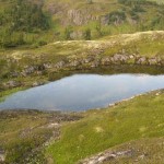
After dinner, I explored the creek chasm and then went up the huge moraine that the trail wraps around before descending. It is filled with multiple small tarns hidden among wind swept spruce and juniper. On a really hot day, you could snag one of the private pools for a skinny dip and no one would even know you were there.
Someday, I'll do the entire hike down to Twenty Mile River, but this is one time I'm glad I was lazy and I recommend leaving your A personality at home as well.
Important Information
The Forest Service specified sustainable trail construction with overall moderate grades. But there are quite a few high stairs, so folks with really bad knees might have a challenge, particularly coming down. The trail crosses a couple of old avalanche chutes down low and traverses a long exposed, and potentially dangerous slope on its upper end. I wouldn't ski this part in snow unless I was 100% sure there was no avalanche risk. If you want to do the entire trail and packboat float to the the Seward Highway, plan on 12-16 hours. You might not want to do it if the days are short, or you get a really late start.
The trail is open to mountain bikers after the first 3/4 mile. Strange but true; you are required to walk or carry your bike from the trailhead to the signs that say bikes allowed. If you plan to bike the route, you'll be carrying you bike over steps and rocks a lot anyway, so you won't mind the warm-up. The Forest Service and Alyeska Resort asks bikers to heed this regulation to avoid running over the slower hikers using this trail. Keep in mind, mountain bikers can use the hand tram route and avoid this first section if it just kills them to walk their bikes.
Be prepared that you are committed for the first 7-8 miles as there are no places to camp before then.
Just because this trail is well maintained should not lull you into feeling you can let your guard down. Please believe me when I say you are still in backcountry with all the usual hazards.
I agree with Ross. That waterfall crossing is pretty scary. I think there are a few others that you may need to be extra cautious and prepare for during and after heavy rains, or early in the season when much snow is melting.
I have a colleague who volunteers with the Girdwood EMT and I hear many stories of having to rescue people on the Twenty Mile River who bit off more than they could chew. Floating out is not as easy as it sounds.
Etc.
This trail is a very good example of new sustainable trail building, and Alaskans are going to be seeing lots more of this type of trail. It avoids fall-line routes, mushy valley bottoms, and steep grades to avoid erosion and typical trail braiding we see on Bird Ridge, Flattop, Lazy Mtn, and on and on. Kudos to the Forest Service for this new and fantastic trail.
